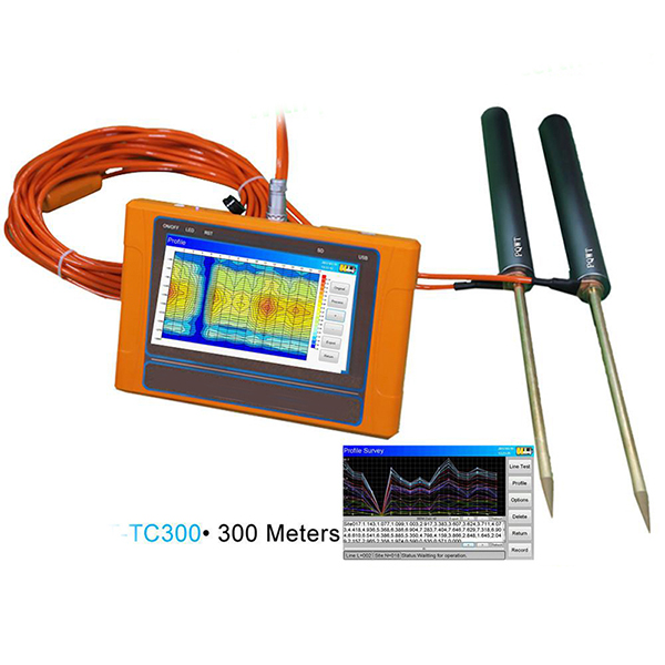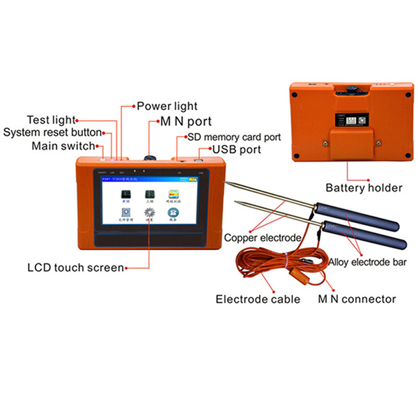
PQWT-TC300 Ground Geophysical Prospecting Water Finder instrument is the use of natural earth field source without going through artificial field that is omitted clumsy power supply system in order to achieve the simple, lightweight instrument.
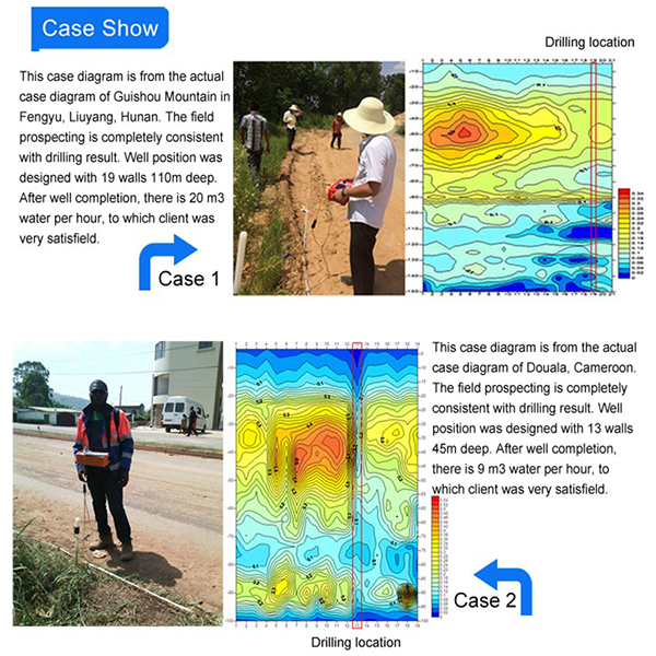
After data collection by the unique built-in computing functions, the instrument can automatically draw curve graph and profile map with one button, according to the profile map, you can clearly understand the geological structure and quickly determine the location of ore body (seam), hollow (cave), water (aquifer) etc.
|
Model |
PQWT-TC300 |
|
Measuring Depth |
300 meter |
|
Measurement Range |
0mV-2000mV, instrument automatic conversion range |
|
Measurement Accuracy |
0.001mV |
|
Measurement Channel |
6 |
|
Measuring Frequency |
Single, triple and 40 frequency |
|
Optional Language |
Chinese, English, French, Arabic |
|
A/D Conversion |
12-bit 1Msps |
|
Input Impedance |
≧10MΩ |
|
Power Supply |
DC12V4000mAh Built-in Battery |
|
Power Consumption |
About 4W |
|
Working Temperature |
-10℃~50℃ |
|
RH |
≦85% |


Your Name 
Email or trade@chinacoalintl.com
Tel/Wechat/Whatsapp or +8615376502802 
Country
Enquiry 